make preferable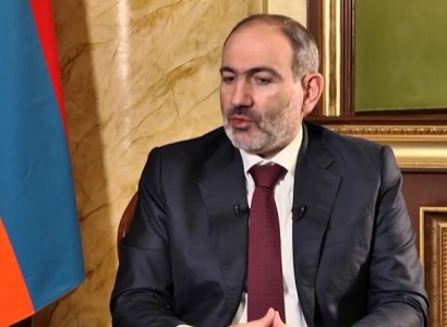
I would like to touch upon what is considered when we say ‘the border of Armenia’ — Armenia gained independence as the legal successor of the Armenian Soviet Socialist Republic and within its territory. This is what Prime Minister of Armenia Nikol Pashinyan stated in an interview with RFE/RL today.
The Prime Minister also touched upon the criticism according to which Armenia’s border is determined through Google Maps and GPS. “Now there are many discussions and speculations since there are talks about adjusting the borders through GPS. There are many speculations according to which the points on the border are adjusted based on Google Maps. I would like to clarify that the borders are being adjusted based on the maps that existed in the Soviet era, and the GPS devices are used to mark the coordinates on the map precisely. Moreover, these are maps that have de jure legal force. It’s not about maps taken from a drawer, but maps that had legal force in the former USSR,” he said.