make preferable
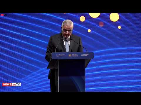
Of course, there are approaches, there are positions. I will not reveal anything more now, but I think that the regulation that we have approved, in principle or regarding the principles, gives sufficient answers on how these issues will be resolved, by what procedure, and with what logic. Deputy Prime Minister of Armenia Mher Grigoryan told this to Armenian News-NEWS.am, responding to the question: “Is there an idea of how the enclaves issue will be resolved. Is there an approach that Armenia will put on the table, say, ‘This is my proposal, let's solve [it] this way?’”
“The most important [thing] I would like to emphasize is on what legal basis this will be done. In this sense, I think that the reference in the regulation to the Almaty Declaration [of 1991] is of great importance. This reference makes it possible to predetermine on what legal basis, on what maps the work will continue, including on the issues you noted,” Grigoryan said.
As for the fact that some time ago the Armenian authorities were stating that there were no legal grounds for the enclaves, and asked whether those grounds have now been found, he said: “If I were to tell you about it now, it would be wrong both in a tactical sense and in a sense of correctness. Of course, both parties have legal grounds, they have topographic maps that are important or will play a role in the border delimitation process.
The legal grounds is legal documents plus maps that have been drawn up, approved, and worded according to the correct legal procedures. In other words, they are not schemes or drawings, but real topographic maps. As documents, they differ a lot from the usual textbook maps or schemes or drawings of maps that are very often presented as a ‘document’ or ‘map.’”
And when asked which maps were used as the basis for the Armenia-Azerbaijan border delimitation, the Armenian deputy premier responded: "We have had the opportunity to talk about it. At the moment, if it is about the maps from the Soviet Union era that were drawn up in the most correct procedure in a topographic sense and legally worded, then these are the maps of the [ex-USSR] General Staff from 1974 to 1978, which were put into service in 1979. In essence, they were the last maps worded, compiled, and approved in the Soviet Union era using formal, legally correct procedures."