make preferable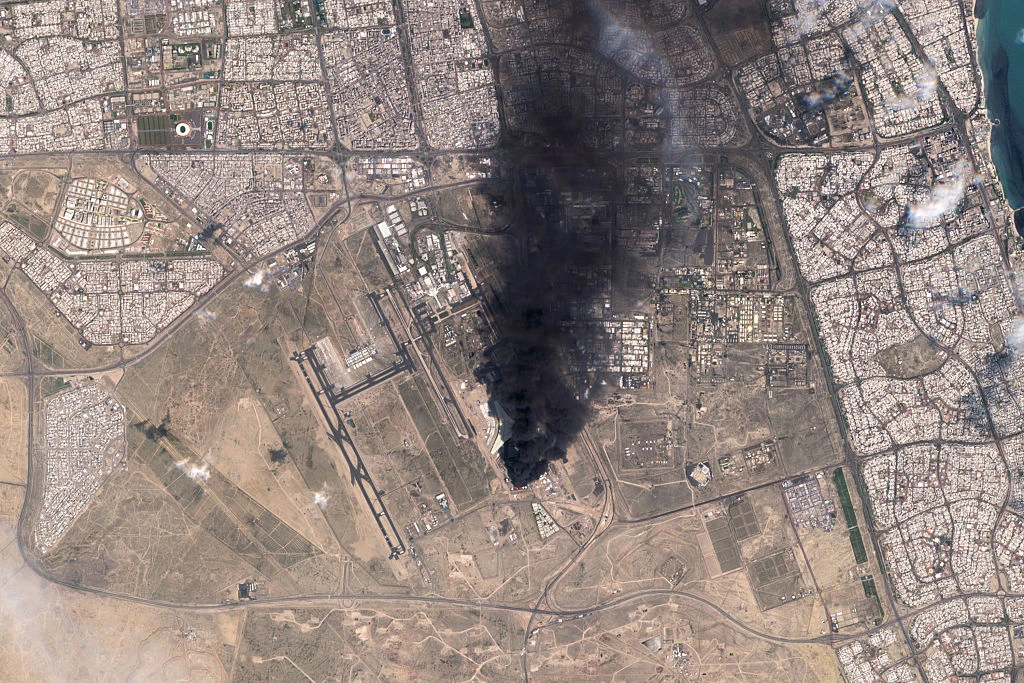
The European Union will continue to publish satellite images of areas of the Middle East related to the U.S. and Israeli war against Iran with a delay, “for as long as necessary,” Euractiv reports, citing a source in the European Commission.
This concerns a 24-hour delay in the publication of images obtained by the satellites of the European Earth observation program Copernicus Sentinel-1 and Sentinel-2. As the European Commission clarified, the relevant decision was approved on July 13 by the foreign ministers of all 27 EU countries.
According to a Commission representative, the measure was introduced to reduce possible security risks “in light of the war in the Middle East and potential threats to European interests.”
Under normal circumstances, Copernicus satellite data are published in open access almost immediately after being received; however, images of certain areas of the Middle East are now made available only after 24 hours.
According to SpaceNews, the initiative was adopted following a diplomatic request from the United States submitted in May. The Council of the EU also confirmed that the decision is specifically related to delaying the distribution of satellite images.
At the same time, neither the European Commission nor the EU Agency for the Space Programme specified whether such a measure had been applied before. The decision to delay publication has not yet been published in the official journal of the European Union.